Finding Waterfalls 11/20/11
“Here, take these directions. They were just fixed not even a week ago, so they’re right.”


Well if that’s the case, that’s perfect then. We’ll follow that map to get to the waterfalls listed under “Off the Beaten Path” in the Rincon section of my guidebook. Recently updated directions…what more could we ask for?!
We were optimistic as we set off to find the waterfalls. The directions started easily; we took Hwy 115 to 111, and made the turn. We found the intersection with Hwy 446 (gas station on the left, police station on the right), and turned. But then the directions got hazy. Pass the Avon factory (check). Drive 8 miles. Turn after the first bridge. Sounds simple enough. Except then this happened…
Rachel: “Oh, there’s the first bridge…so we turn here.”
Me: “That can’t be it. We haven’t gone nearly 8 miles yet. We’ve barely gone ONE mile.”
So we continued. The path wound around the mountains, up and down on steep and narrow roads. About 4 miles along, we came to a sign: “Road closed ahead. Local traffic only.”
“Well friends, we’re about to become local traffic,” I said, planning to drive between a few traffic cones and maneuver my way down a gravel road for a while before meeting up with pavement again. Except when the road ended, we were met with this:


My car can’t handle that. Don’t know about yours.
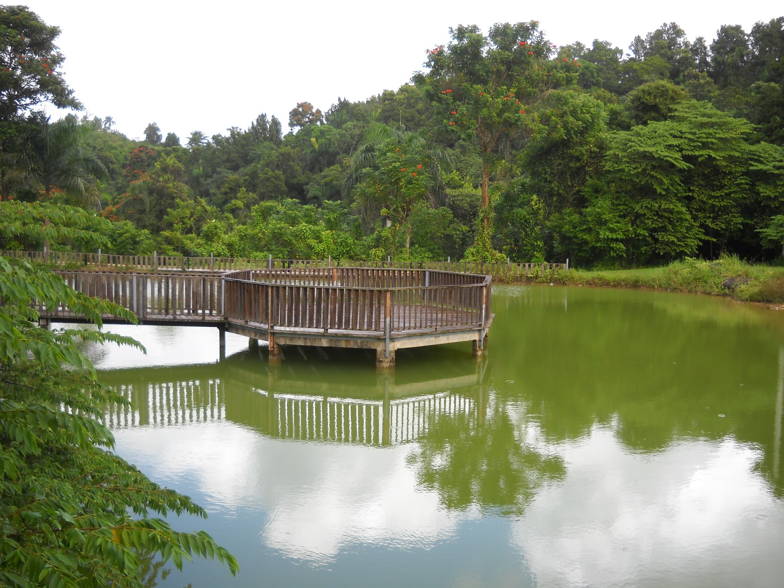
 |
| The view from where our road ended |
So we backtracked. We’d seen a sign for a detour on 446. We turned and took it. After driving 5 more miles and not seeing anything that looked like a sign for us to meet back up with the broken road, or any signs pointing us in the direction of the detour, our road came to a dead end at an intersection with Hwy 110. After a quick look at the map, Rachel confirmed we’d gone too far. We backtracked again, and chose one of the many forks in the road to try.
As we came around a steep corner, we were faced with a hill steeper than any we’d seen that day. At the bottom was as short driveway. I pulled into it and stopped. “That’s not the road, right? We’ll never make it up that!” It was. But then I started freaking out a bit about where I was parked in the driveway. There was no room for me to make a Y-turn, no guardrail to give me a sense of security as I backed up to get back on the road, and no way I could continue down the hill rather than up. Rachel, seeing my panic, hopped out of the car and directed me to back up onto the road, my car facing primed to begin the climb. Then she hopped back into the car, and told me to drive.
Ruby (my car) inched up the hill. I mean literally inched—less than 5 miles per hour. “Come on, Ruby, come up!” I urged, petrified that either 1)my engine would fail and my car would simply roll backwards down the hill, or 2)a car would come from the opposite direction over the hill, and I would have place to go because the road was so narrow.
Thankfully, though, we made it to the top of the hill…and another fork in the road. “Left or right?”
“Ummm… I think we should turn around,” Rachel said. “This doesn’t look right.”
I stared at her in disbelief. “Going back down that hill is going to be even worse than going up! I don’t want to!” She put on her sympathetic face and told me, “Well, you’re going to have to. I don’t know any other way back.” I took a deep breath, turned around in the driveway, and we began our descent, my foot firmly on the brake and my hand on the horn as I made the corner. It was the steepest road I personally have ever driven on; I’m convinced it would give many in San Francisco a run for their money. But we made it safely.
 |
| You can't even tell how steep it was... |
As we reached the bottom of the hill, all three of us burst into uncontrollable laughter. Between breaths, Rachel gulped out her amusement at the fact that the day before, I’d seen a picture of a skydiver and said, “Does Puerto Rico have skydiving? Can we GO?!?!” but a steep hill had had me at my wits end. Yeah, well…
We continued back to 446 and decided, with a shrug, to go try that first bridge after all.
We turned onto the bridge, followed more twisty, narrow, steep roads for about a mile, then pulled over behind a car who had stopped to ask an old man with a machete for directions. We asked him too; how do we get to the waterfalls? He pointed behind us to our left and said something about concrete.
Confusion.
Do we go back and turn before the bridge? On the first road we tried? Back to where the road is concrete and not blacktop? What does he mean? We gave up and used yet another driveway to turn around. But as we did, we noticed at that very curve in the road—a gate.

Our directions told us that we needed to find a gate and follow a footpath down to the waterfalls. A… concrete footpath, perhaps? Could it really be that we were THERE? We parked, and followed the footpath. Soon enough, we heard the rush of a waterfall. We found a murky pool and abandoned buildings—what look like remnants of a tourist attraction long closed. We met locals on the path, and one man who directed us to the top of the falls rather than the bottom, because “it’s worth it.”
It had been raining intermittently, and had soaked us all on the walk down. Therefore, at the top of the falls, Rachel and I had no qualms about hopping into the shallow river, dresses and all, and hiking upstream a bit to take pictures on the rocks and enjoy a sense of exploration.

Slippery mud made it impossible for us to get to the bottom of the falls, but Rachel climbed down partway to get pictures.


That being done, we hiked back up to the car, drenched but happy, and headed back into town to find some lunch.
Sometimes the journey is as much fun as the destination.


Comments
Post a Comment